

Published Date : 2019
Auther : Jorge Angás / Sabah Abboud Jasim / Manuel Bea / Paula Uribe / Paloma / Xosefina Otero
Publisher : The International Archives of the Photogrammetry, Remote Sensing and Spatial Information Sciences
Available Languages -
English
This paper proposes an initial methodological procedure that allows integrating the data recorded from the archaeological area of Khatam al-Malha (Emirate of Sharjah, United Arab Emirates) into the access to the network, combining different geomatics techniques at different levels from a broad technical perspective. The documentation process should always consider every aspect of recording as well as preventive monitoring, preservation and interpretation, in order to improve scientific analysis.
Trade centres and commercial routes in the Arabian Gulf: Post-Hellenistic discoveries at Dibba, Sharjah, United Arab Emirates
Published Date : 2006
Auther : Sabah A.Jasim
Publisher : Arabian archaeology and epigraphy
Available Languages -
English
This scientific research presents and discusses the results of the archaeological excavations that took place ...
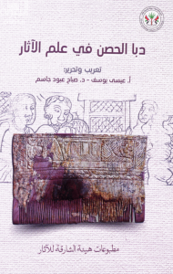
Dibba Al-Hisn in Archaeology
Published Date : 2021
Auther : Eisa Yousif , Dr. Sabah Jasim
Publisher : Sharjah Archaeology Authority
Available Languages -
Arabic
This small city (Dibba Al-Hisn) occupies a quiet and distinguished location overlooking the western coast ...